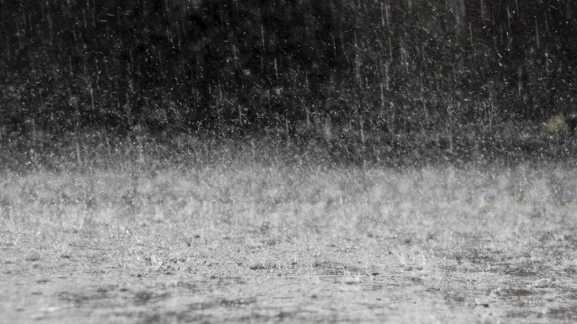
A new atmospheric disturbance, currently in the south of the Caribbean Sea, is likely to intensify the rains in Costa Rica over the weekend. The National Hurricane Center estimates a 30% chance that it will develop into a tropical cyclone.
Even though it is unlikely to become a cyclone, it will still create greater rainfall country-wide. While we are currently seeing an improvement in weather, this will not last. The combination of low pressure and the position of the Intertropical Convergence Zone over the country will make Friday and Saturday see increased rain.
The National Meteorological Institute is monitoring a zone of instability on the southern Caribbean Sea.
Following Hurricane Iota, 14 floods were reported, from Monday night to early Tuesday. The highest rainfall was in the South Pacific, in Corredores, Buenos Aires, and Coto Brus.
Rivers in the southern zone are still vulnerable, since some dams were severely affected. Communities near rivers and unstable slopes should be vigilant, as the soil is saturated from rains in previous weeks.

